Prices for drone services Caen & Normandy

All you need to know about the different rates and services.

Prices vary according to several factors

– Length of assignment and travel time
Number of authorizations required
– The complexity of the task
Drone size and range
– Type of service (photo, video, editing, etc.)
– The drone pilot’s qualifications and experience

Included in our drone service rates:

Find out more about our drone services in Caen & Calvados and throughout France

2 drones

We have several drones at our disposal, allowing us to adapt to the different missions entrusted to us, and always take 2 drones per mission if necessary.

Telepilot

Certificat d'aptitude Télépilote de drone issued by the Direction Générale de l'Aviation Civile.

Cameraman

A camera operator specialized in aerial images

Shooting

All shooting equipment, both on the drone and on the ground. H264 or 265, Raw/Dng or ProRes

HD1080p, 4K, 5.2K

20, 50 and 100 megapixels

Video review

If required, we can install a dedicated video feedback system for the customer to follow live

Professional liability insurance

Professional insurance covering civil liability in the context of our activity

However, it’s important to note that price shouldn’t be the only criterion for choosing a drone service provider. Service quality and safety are also essential criteria.

In terms of safety, we hold a drone pilot’s license issued by the French Civil Aviation Authority (DGAC), and we comply with all current safety regulations. We have professional liability insurance covering any damage caused by the drone up to a limit of 1 million euros.

Factors influencing the price of a drone service

The cost of a drone mission varies according to several criteria:

The nature of the mission

Event filming does not require the same equipment or expertise as thermal inspection or topographic mapping. Here are a few common types of service:

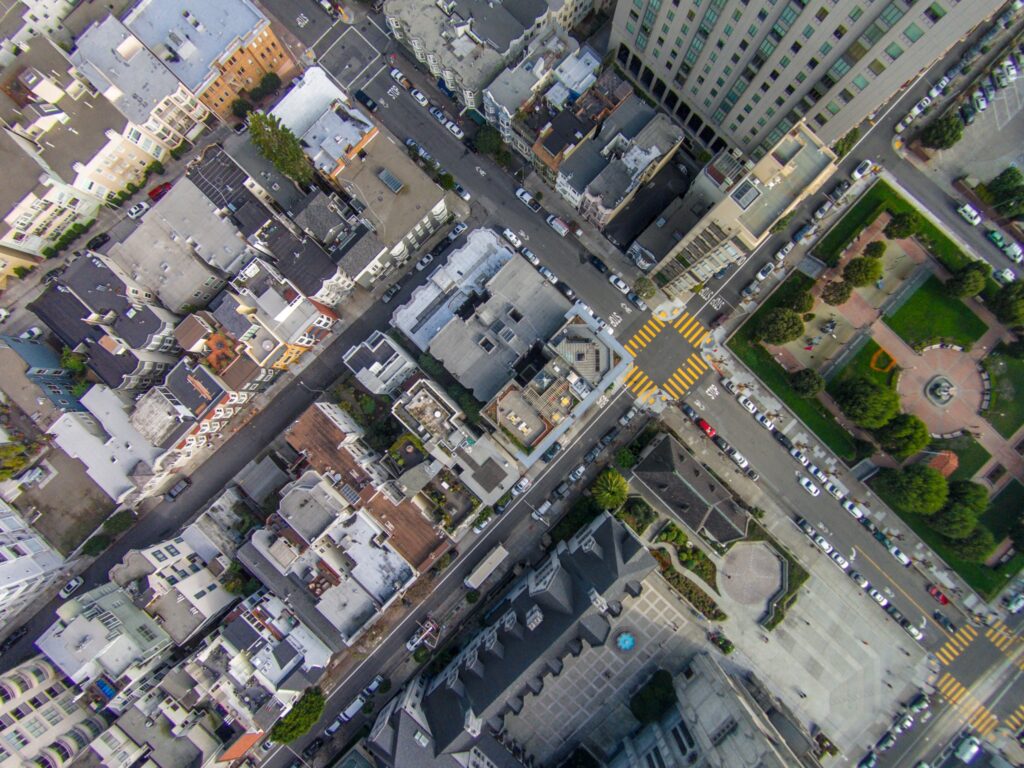
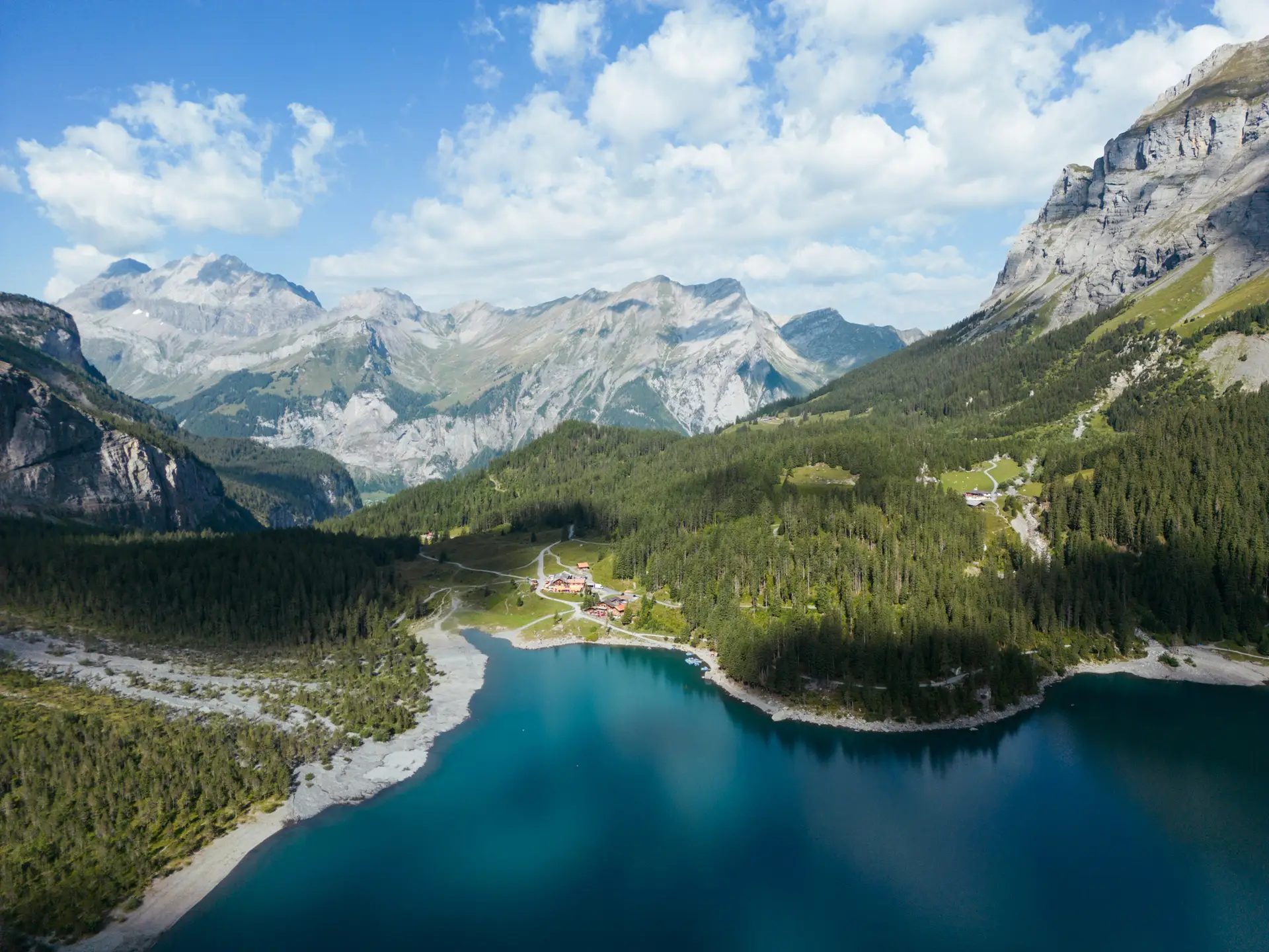
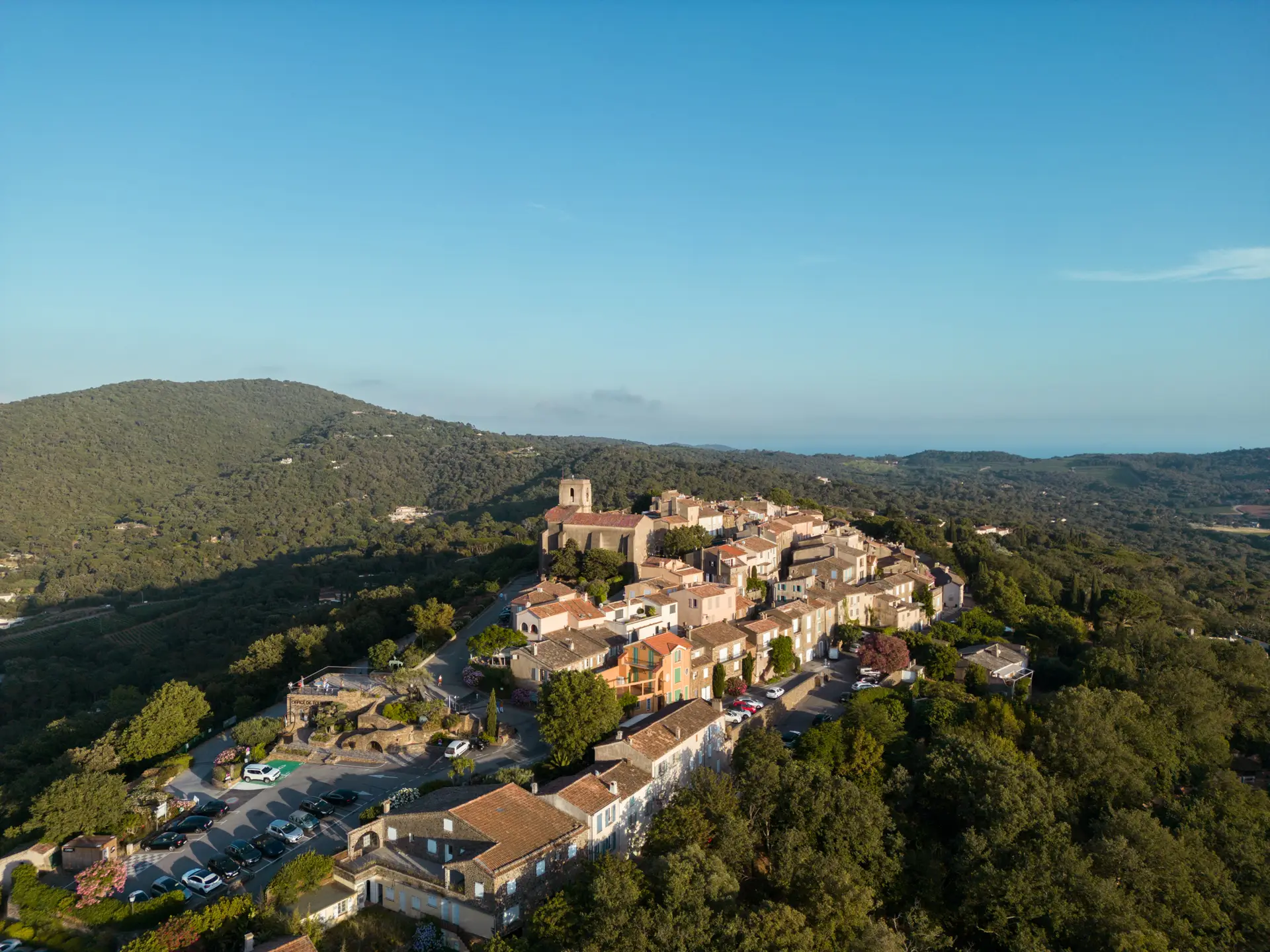
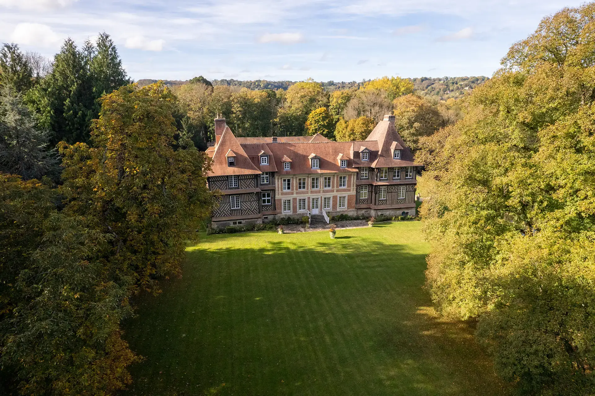
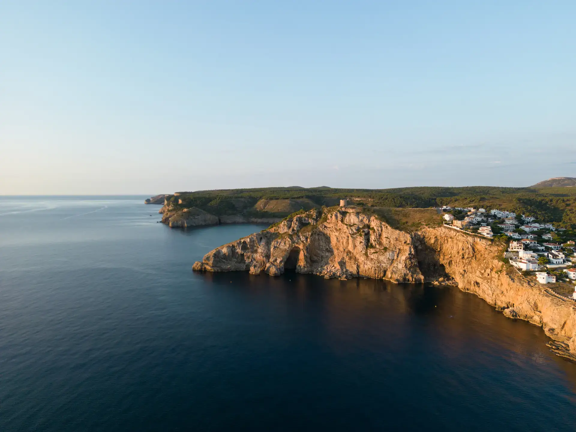
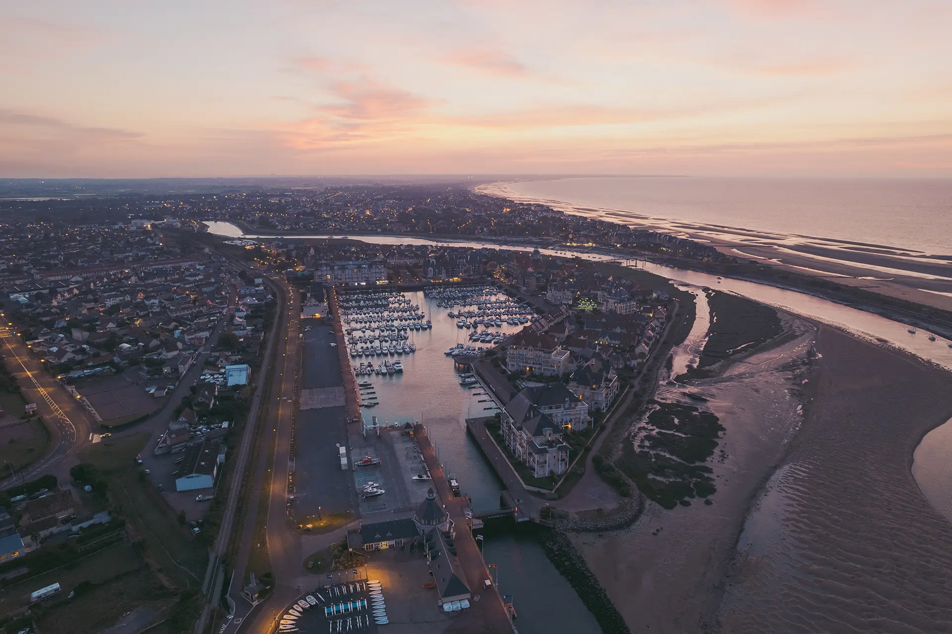
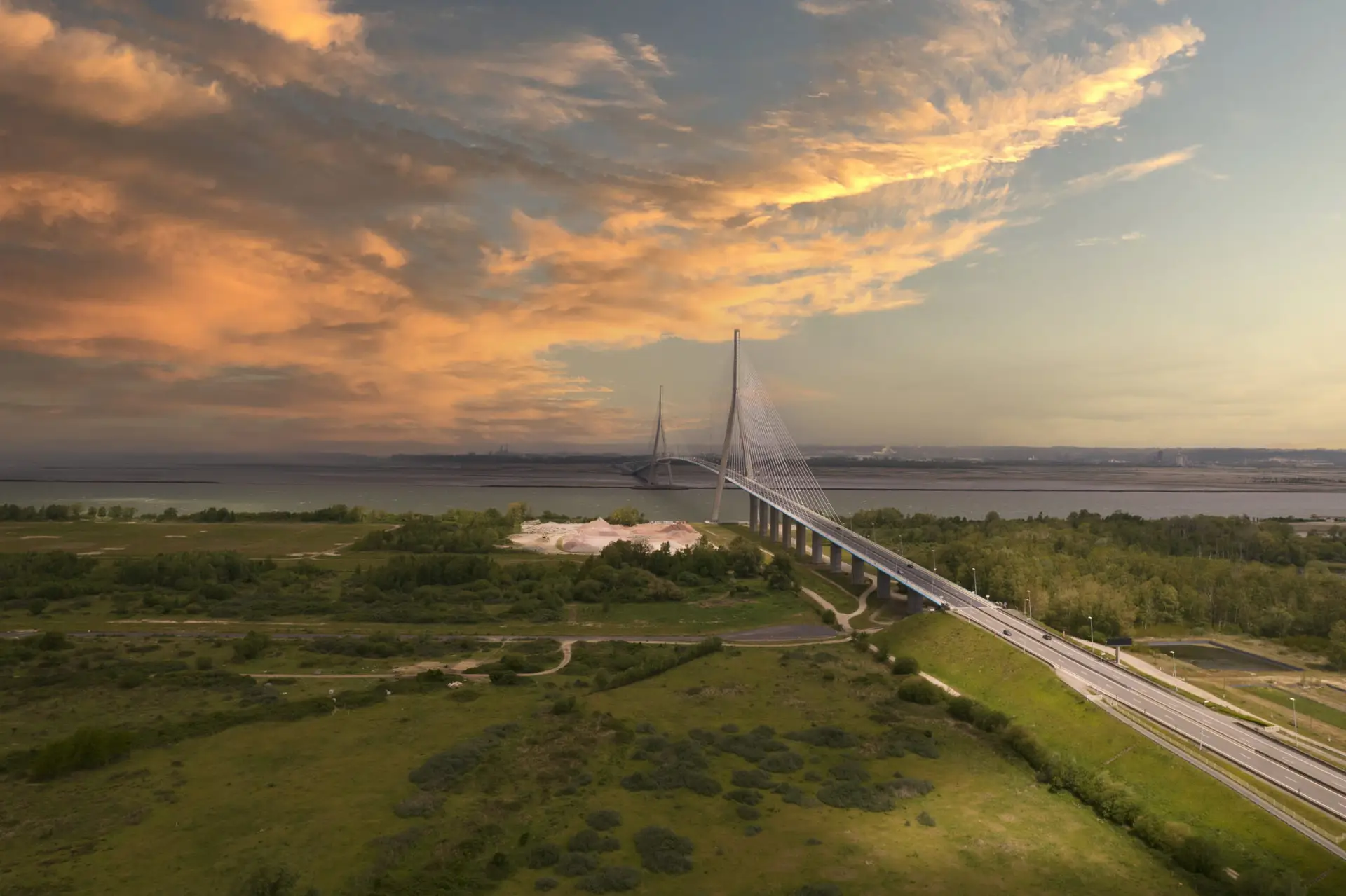
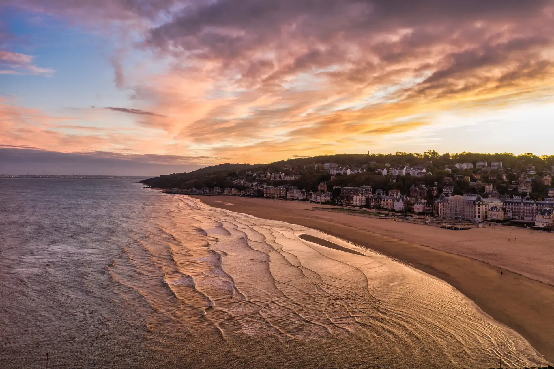
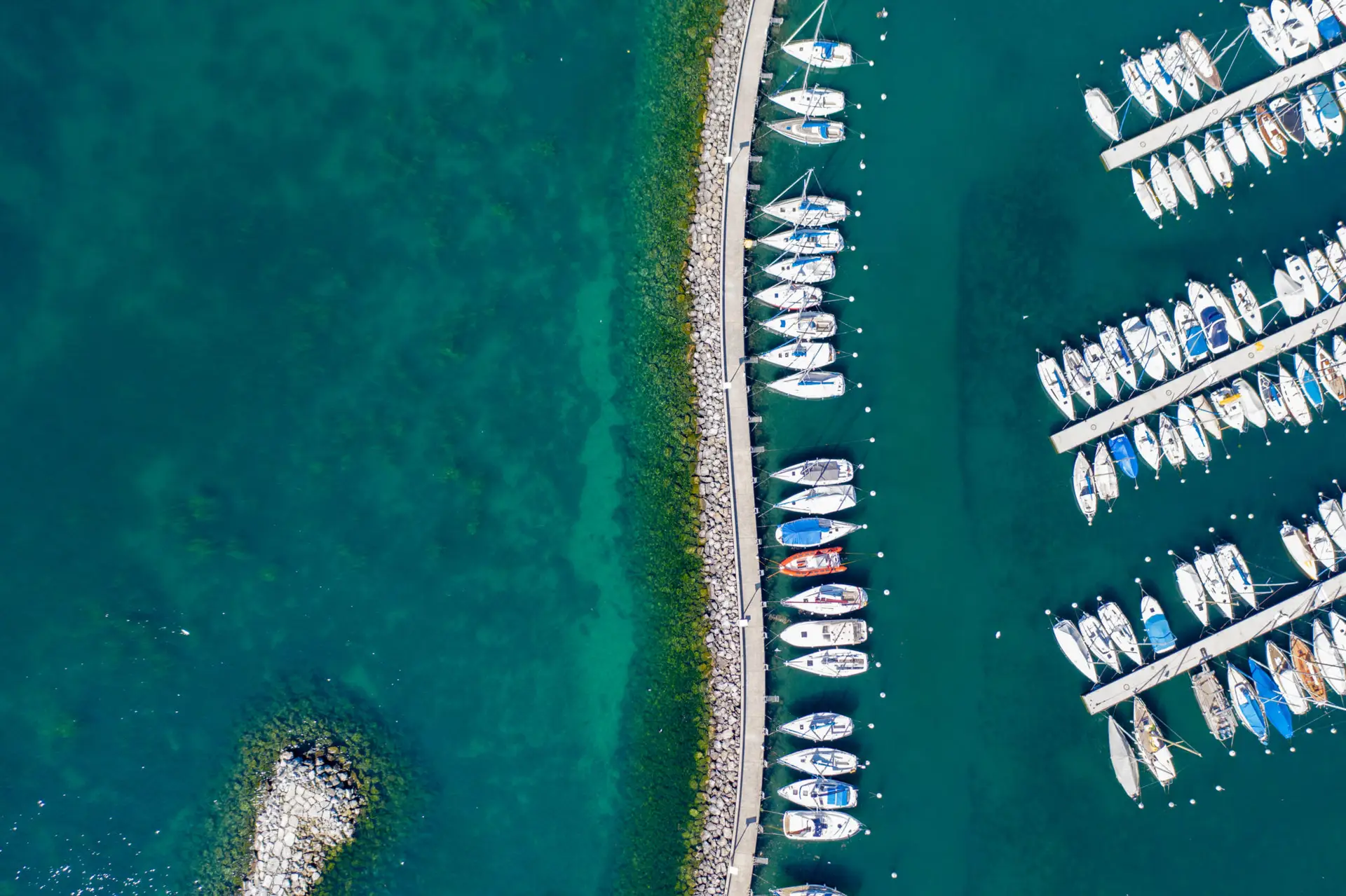
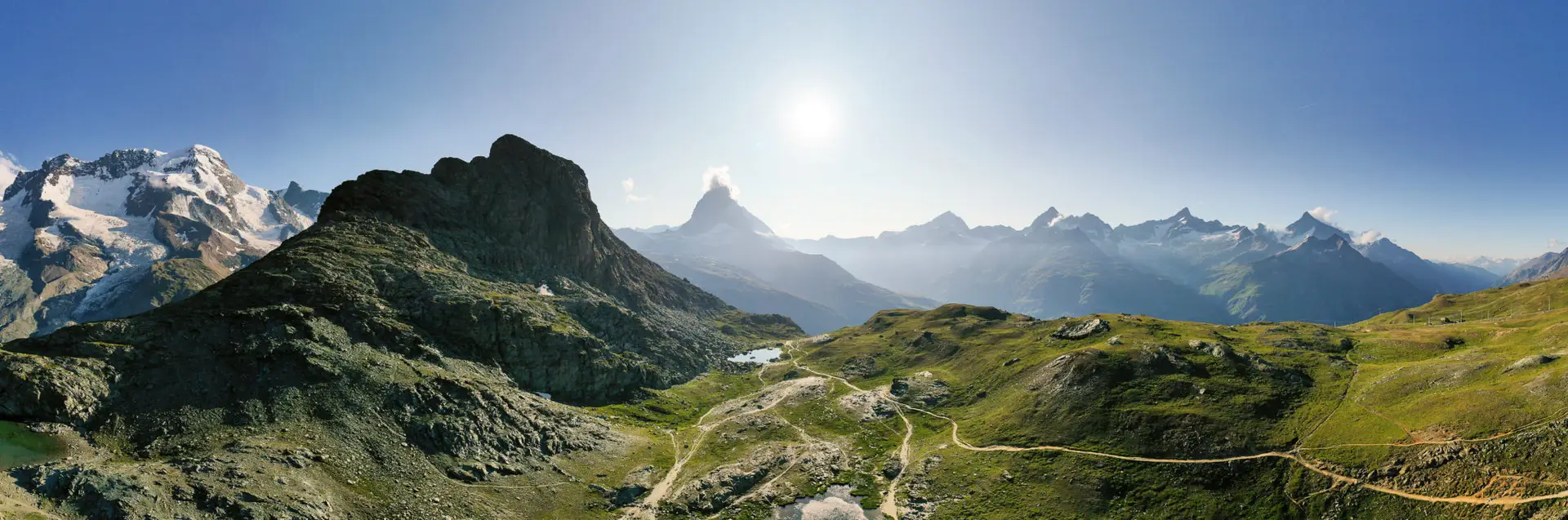
Aerial shots (photo & video) → For real estate, events, tourism, etc.

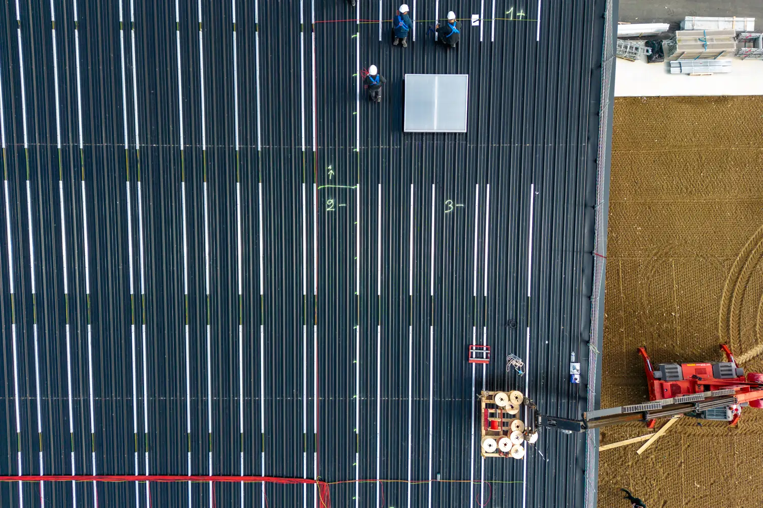
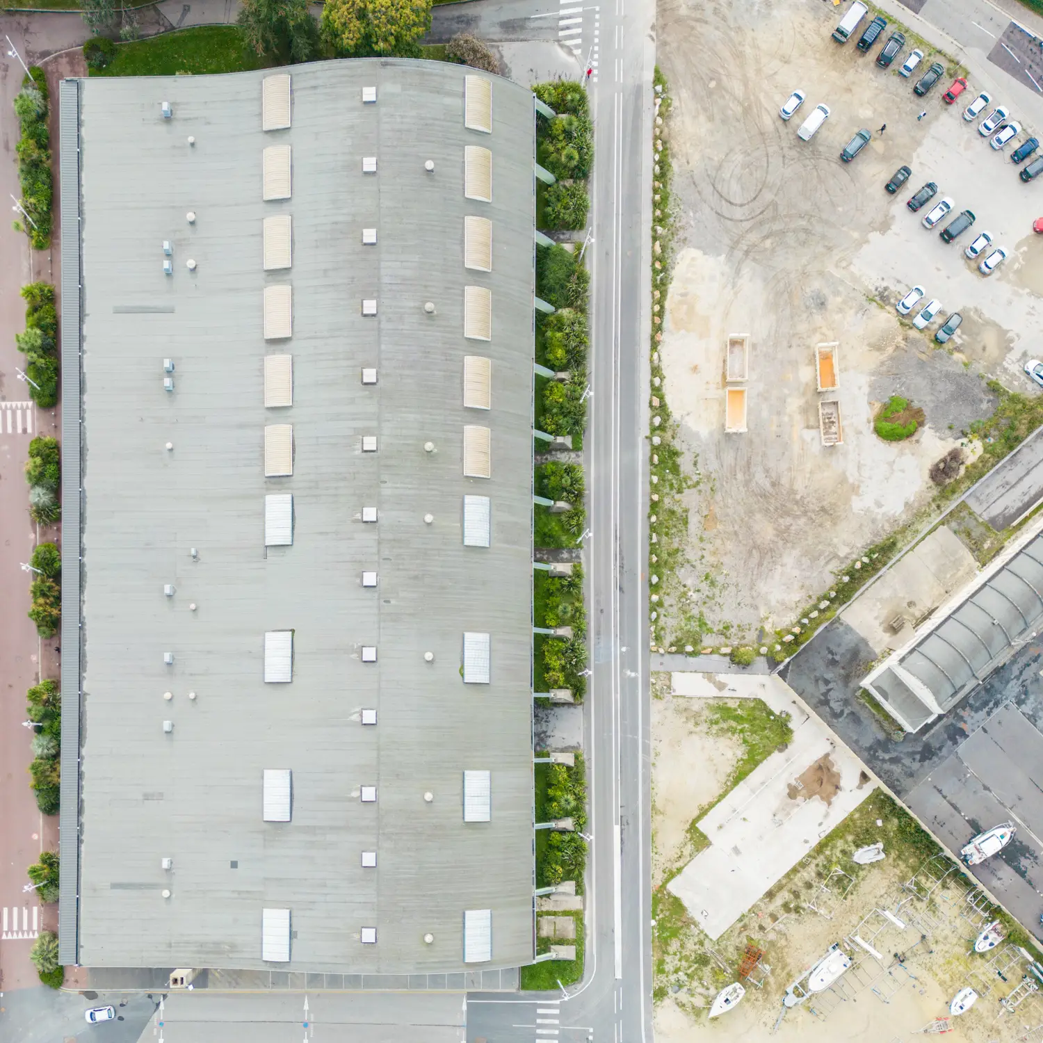
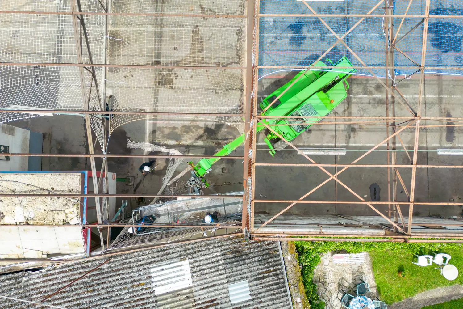
Technical inspection → Roofs, wind turbines, solar panels, power lines…

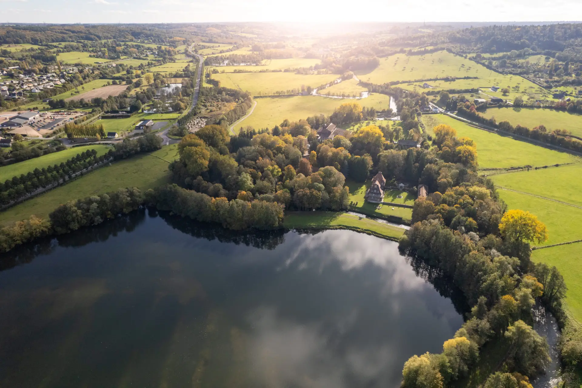
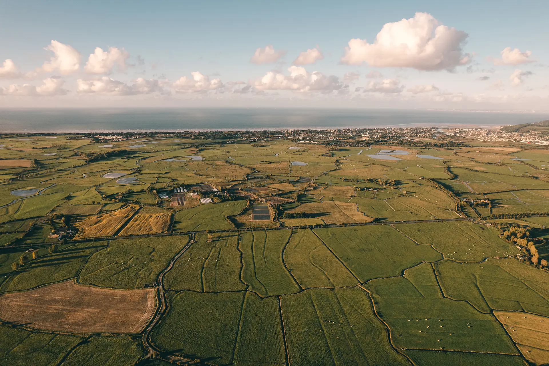
Mapping & topography → Orthophoto generation, 3D modeling…

Precision agriculture → Crop monitoring, NDVI analysis…

Site monitoring → Before/after, BIM modeling, timelapse…
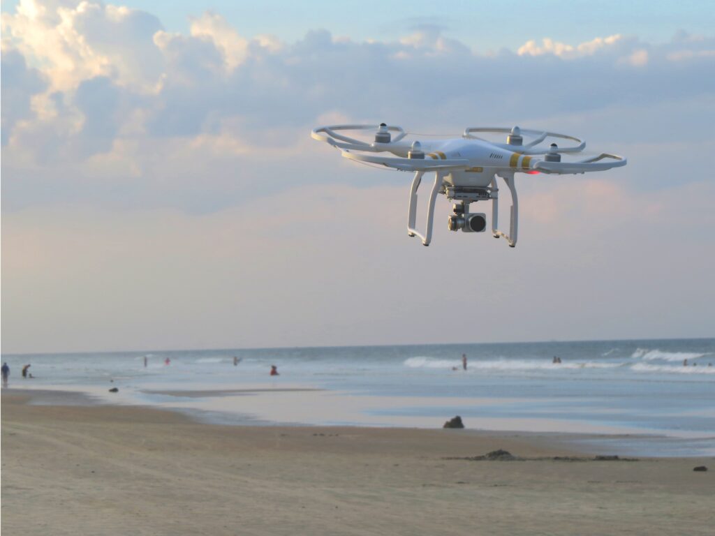
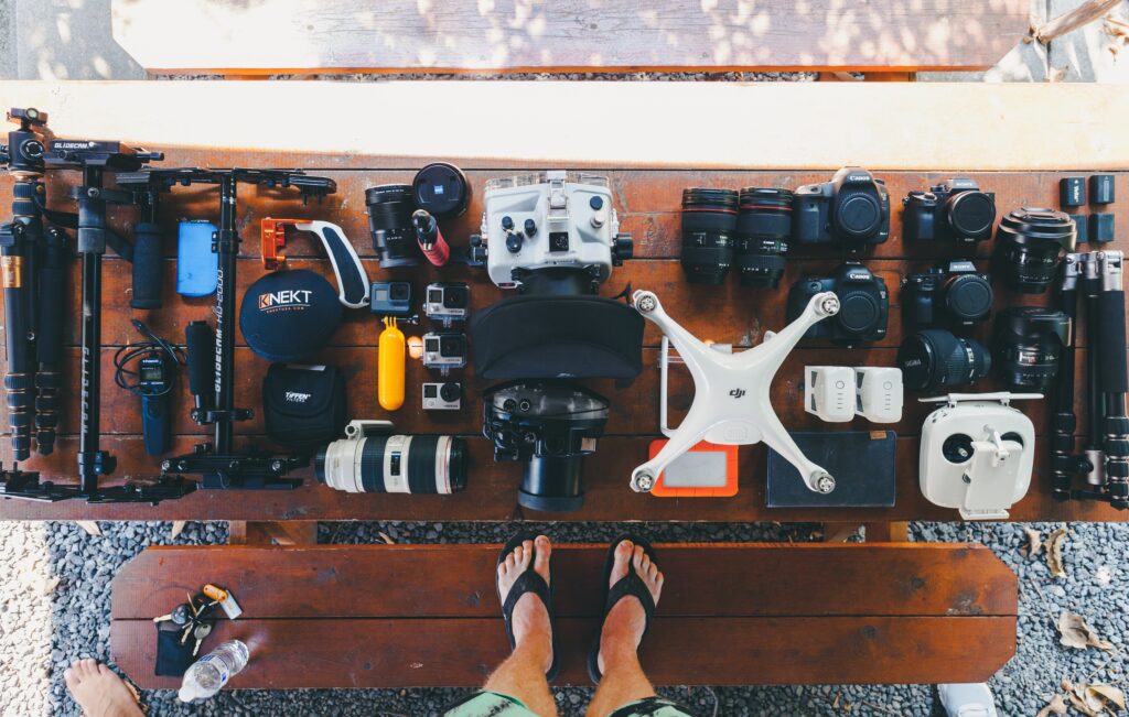
The equipment used

Not all drones are created equal, and some top-of-the-range models offer advanced features such as 8K capture, thermal imaging and ultra-precise stabilization.

Standard drone (e.g. DJI Mavic 3, Air 3) → Ideal for classic photography and video.

Professional drone (e.g. DJI Inspire 3, Matrice 300 RTK) → Used for complex missions.

Specific cameras (thermal, multispectral, LIDAR) → For industry, agriculture or topography.

Duration and complexity of the assignment

-A flight of 30-minute flight for an aerial photo will cost less than a mission requiring several hours of filming on a construction site or an event.

-Data analysis and processing (3D modeling, orthophotos, video editing, etc.) add time and cost.

Administrative constraints

Some missions require specific authorizations:

Restricted areas (near airports, military zones, etc.) → Requests for authorizations from the prefecture and the DGAC.

Shooting in public spaces → Request authorization from the town hall or other organizations.

Post-production

Rates vary according to photo retouching, video editing and 3D modeling:

-Simple vs. advanced photo retouching.

-Basic video editing vs. promotional video with effects and music.

-Data processing for mapping or inspection

Prices for guidance only

Because every project is unique, we adapt our rates to each type of assignment.

Type of service Average rate excl.

Aerial photo (5 to 10 shots) 150 à 400 €

Aerial video (raw, unedited) 250 à 700 €

Photo + video pack 500 à 1 200 €

Roof/solar panel inspection 400 à 1 000 €

Mapping / Orthophoto 800 to €3,000 depending on surface

3D modeling (photogrammetry) 1,000 to €5,000 depending on complexity

Event filming (festival, sport… 1 day) 800 à 2 500 €

Site supervision (1 visit) 400 à 1 500 €

Site supervision (pack of 6 to 12 visits/year) 2 500 à 10 000 €

Agricultural imagery (NDVI, multispectral) 600 à 2 500 €

Options and extras

Technical options

Shooting in 4K or 8K → + 100 à 300 €

FPV drone operation (first person, dynamic) → + 200 à 500 €

Use of a thermal or multispectral camera → + 300 à 1 000 €

Administrative options

DGAC / prefecture authorization request → + 100 à 300 €

Application for authorization in dense urban areas → + 150 à 400 €

Post-production and editing

Advanced photo retouching → + €20 to €50/photo

Simple video editing (1m30) → + 300 à 800 €

Premium video editing with music and animations → + 800 à 2 500 €

Why is it difficult to have a fixed price structure?

The price of a drone service depends on a number of factors many factors (type of mission, equipment used, authorizations required, duration of flight, post-production, etc.). As a result, two similar projects can have have completely different costs due to specific constraints.

Example of price variation:

-A simple property photo of an isolated house will cost 150 à 250 € .

-An inspection mission on a skyscraper in the city requiring specific authorizations and advanced equipment can exceed 1 500 € .

-A mapping of an industrial site requiring several hours of flying and data processing can cost several thousand euros .

Conclusion: how do I get an accurate quote?

If you are looking for a drone service, it’s best to ask for a detailed quote specifying :

✅ The nature of your project.

✅ The flight area and any restrictions.

✅ The type of rendering expected (photo, video, 3D modeling…).

✅ Specific constraints (equipment required, authorizations, deadlines, etc.).

The drone professionals will then establish a adapted to your real needs .

News & information

aerial photograph of a beach with a sunset over a beach

How to shoot HDR with a drone?

HDR (High Dynamic Range) photography is a powerful technique for capturing high-contrast scenes. With a drone, this method becomes even more impressive, allowing you to

Contact form